

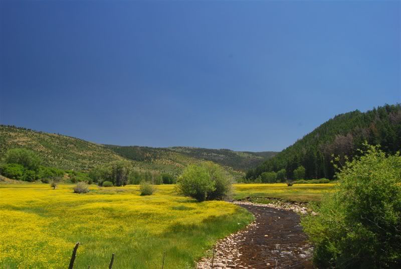
Love to explore the high Uinta Mts. This was a pretty tough trailhead to find. If anyone is interested I'll post some GPS directions to the entrance at the bottom. Unmarked and not much used this year. Bear markings and expansive fields of flowers.
![Image]()
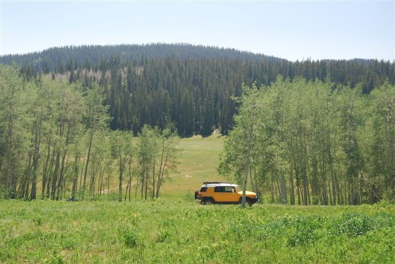
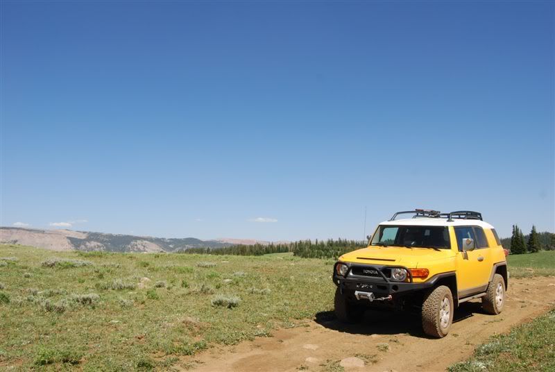
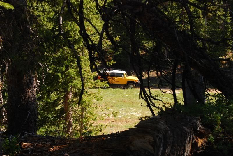
Just after the start:
![Image]()
![Image]()
![Image]()
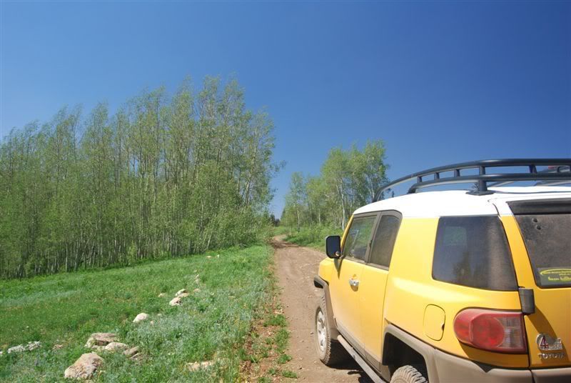
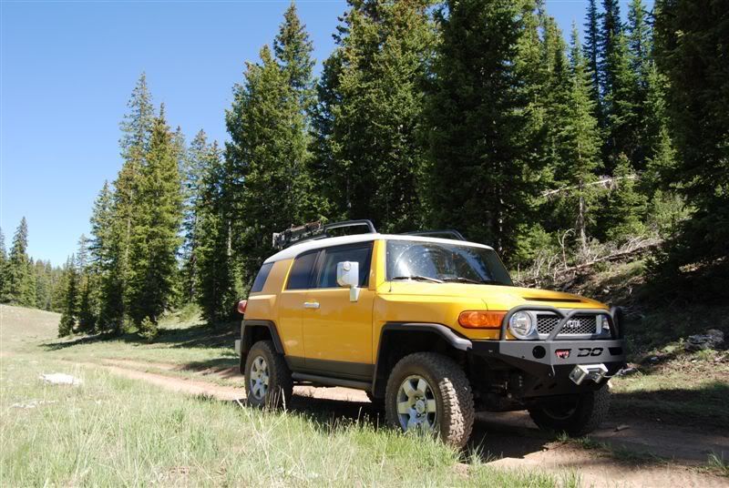
It heads up a truly glorious, and easy track to the top of Lightning Ridge. This spot for some reason gets more lightning strikes than the rest of the state combined (from the story I read) There are many memorials to folks up here that met a gruesome and sudden end. Supposedly it gets many "dry" strikes, meaning no clouds. That's not even fair.
![Image]()
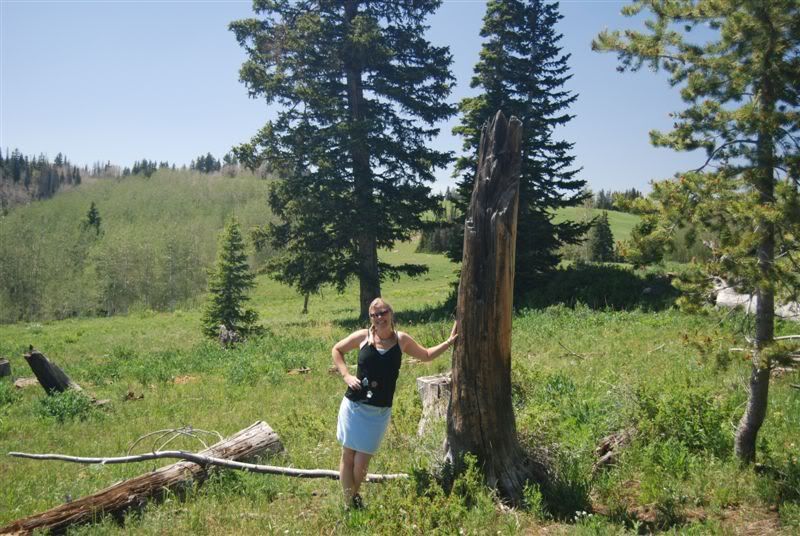
One more example of the aforementioned lightning (and the wonderful Mrs. Rat)
![Image]()
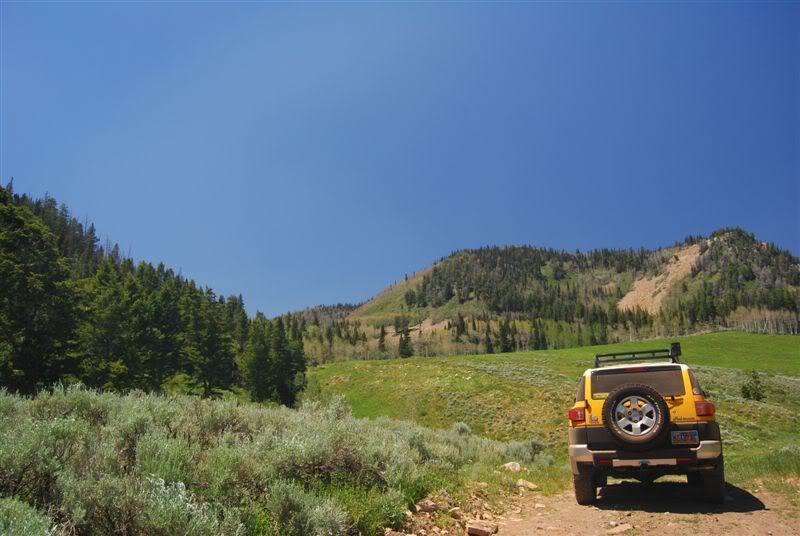
There are dozens of trails from here, only two of which are on the topos
![Image]()
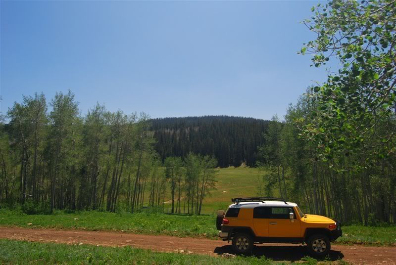
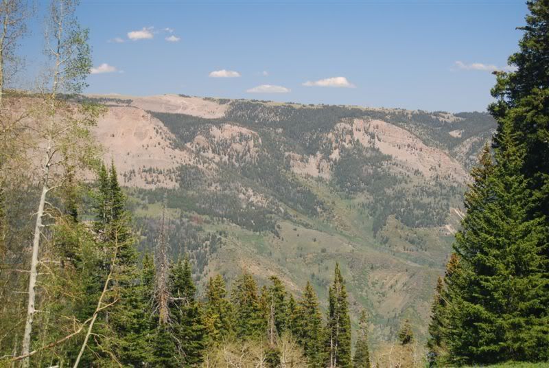
The GPS showed about 9800 feet up from this vantage point
![Image]()
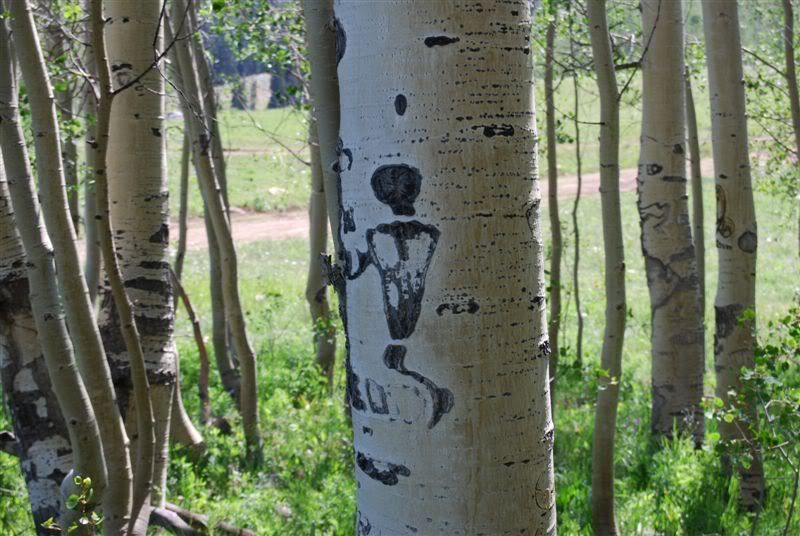
There are super cool carvings in some of the trees around here, some dating and documented from the Spanish miners that were digging 300 years ago. This one looks like it came from the little green men
![Image]()
![Image]()
![Image]()
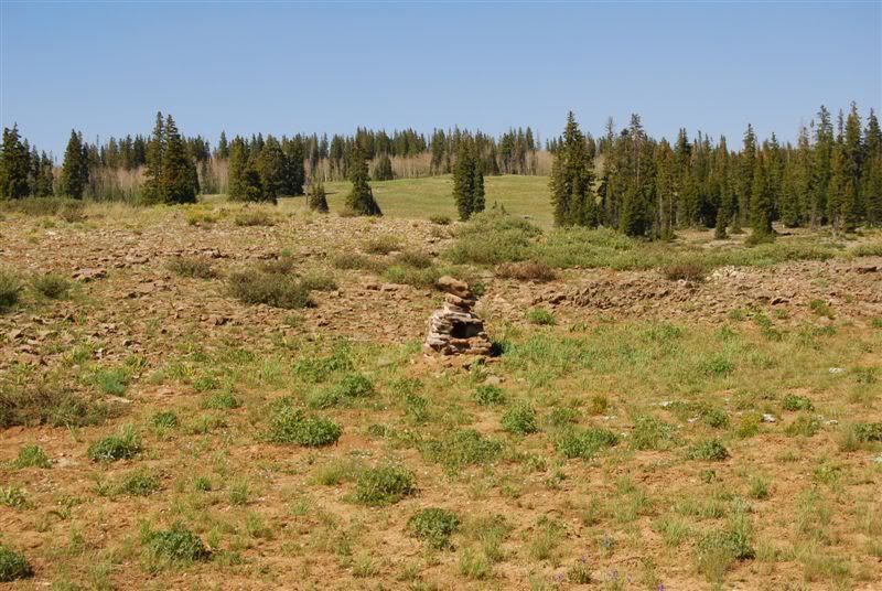
Some sort of shrine, obviously old and rebuilt. Found an old mine shaft nearby, covered with old rotten logs and dirt. We decided to watch our step hiking around after that")
![Image]()
![Image]()
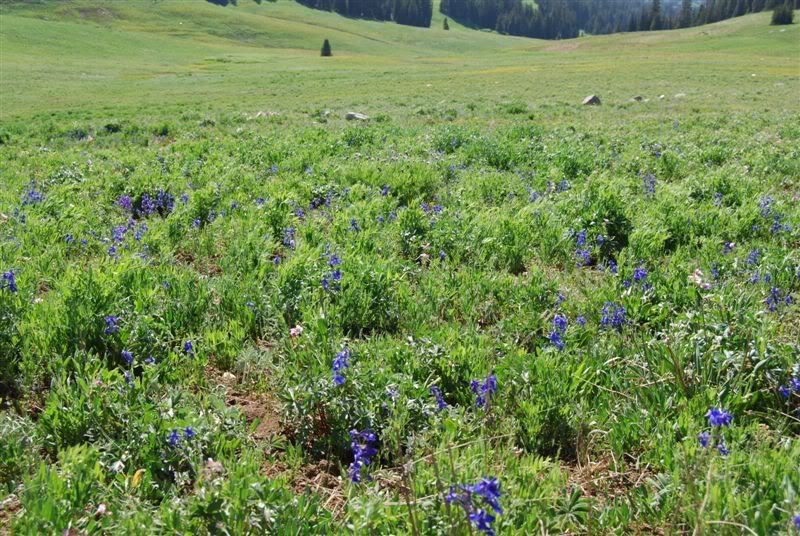
and field, after field, after field of wildflowers
![Image]()
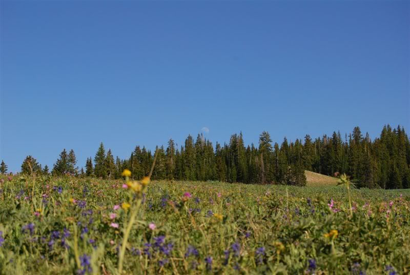
I'll have to give folks more notice next time, although we'll probably end up back up there this Sunday. This particular shot was near an area by Cold Springs if you are googling it.
![Image]()
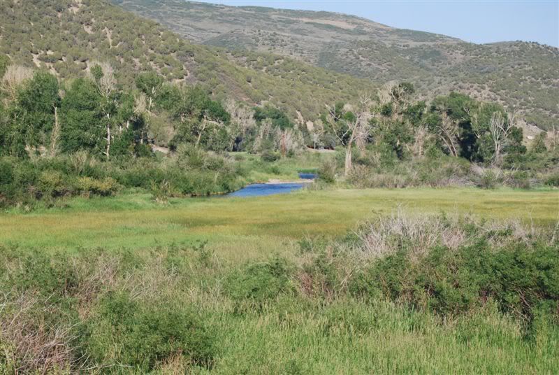
Love the Moon in that one. Here's one more from the way home:
![Image]()
Hope we can share this area with some more of our local gang. Have a nice night. I'll post some Sunday plans tomorrow afternoon when I'm done with my skid plate and control arm installs.
Just after the start:
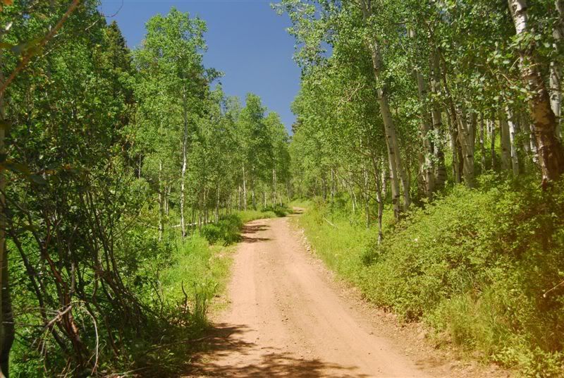
It heads up a truly glorious, and easy track to the top of Lightning Ridge. This spot for some reason gets more lightning strikes than the rest of the state combined (from the story I read) There are many memorials to folks up here that met a gruesome and sudden end. Supposedly it gets many "dry" strikes, meaning no clouds. That's not even fair.
One more example of the aforementioned lightning (and the wonderful Mrs. Rat)
There are dozens of trails from here, only two of which are on the topos
The GPS showed about 9800 feet up from this vantage point
There are super cool carvings in some of the trees around here, some dating and documented from the Spanish miners that were digging 300 years ago. This one looks like it came from the little green men
Some sort of shrine, obviously old and rebuilt. Found an old mine shaft nearby, covered with old rotten logs and dirt. We decided to watch our step hiking around after that
and field, after field, after field of wildflowers
I'll have to give folks more notice next time, although we'll probably end up back up there this Sunday. This particular shot was near an area by Cold Springs if you are googling it.
Love the Moon in that one. Here's one more from the way home:
Hope we can share this area with some more of our local gang. Have a nice night. I'll post some Sunday plans tomorrow afternoon when I'm done with my skid plate and control arm installs.


